|
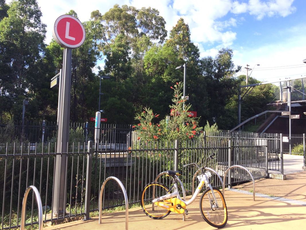
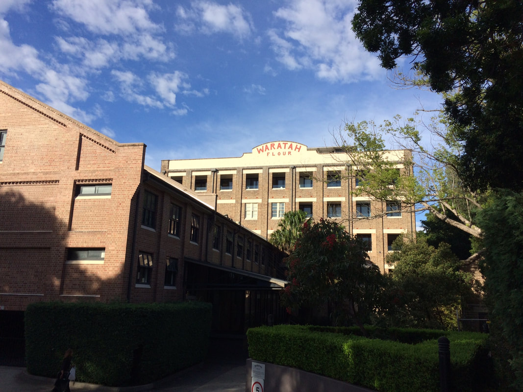
This is part of a unit of work for Changing Places - Australia's Urban Future. Lesson 1: Australia's Projected Population Growth Lesson 2: Implications for Future Growth and Sustainability Lesson 3: Sydenham to Bankstown Urban Renewal Precinct Lesson 4: WestConnex - Sydney, Sustainability and Transport Lesson 4: Sydney Sustainability and Transport (Teacher's Notes) Lesson 5: The GreenWay Lesson 5: Deindustrialisation Lesson 6: Create an infographic Lesson 7: Contributing to a Sustainable Urban Future Lesson 7: WestConnex - Protest Movements and Impacts Lesson 7: Conflict Over Dulwich Hill WestConnex Stage 1 (M4 East) Stage 1 of the WestConnex project involves the widening of the M4, a connection between Parramatta Road and the City West Link and new connections at Concord Road. A tunnel will run from the end of the current M4 to the City West Link. Ashfield and Haberfield A section of Ashfield along Parramatta Road was acquired and demolished for WestConnex. The exit to the M4 tunnel will be near the crossroads of Frederick St/ City West Link and Parramatta Road. A large sections of Haberfield has been acquired to allow the WestConnex to link directly with the City West Link. Stage 2 (New M5) Stage 2 of the WestConnex project involves the construction of a tunnel between St Peters and Kingsgrove. St Peters, Alexandria and Newtown A traffic interchange is under construction next to Sydney Park. This will feed traffic into Edgeware and Enmore Roads and King Street, Newtown. Campbell Street and Euston Road will be widened. Stage 3 (M4-M5 Link) Stage 3 will involve an underground tunnel from Victoria Rd, east of the Iron Cove Bridge to St Peters. Balmain and Rozelle While Stage 3 of WestConnex is being finalized , recent announcements suggested that the former Balmain Tigers Club on Victoria Rd at Rozelle, will be used as a dive site. Further details have not yet been released. For more detail about WestConnex view previous blog posts: Lesson 4: West Connex Update 1: Ashfield and Haberfield Lesson 4: WestConnex Update 2: St Peters, Alexandria, Newtown Lesson Activity: WestConnex and Sustainability Examine the WestConnex development from a range of different perspectives. Develop a criteria to assess the project for economic, social and environmental sustainability. Include maps showing where the WestConnex project is located and the changes to landuse along the corridor (for example, acquisitions and demolitions, new open spaces). What might you change to improve the economic, social and environmental sustainability of the project? Consider the following: - What is the overall cost of development (economic, social, environmental)? - What kind of Sydney do we really want? - Do the benefits to the city/commuters outweigh the costs to others? Light Rail Extension A key issue in sustainability is its car-dependence. Every improvement in public transport is a step towards improving Sydney's sustainability. The 2013 Inner West Light Rail Extension involved utilising former freight lines to extend light rail services from Lilyfield to Dulwich Hill. The light rail now extends from Lilyfield into the CBD, and commuters can also connect to the Inner West rail line at Summer Hill or Stanmore. The extension of the light rail line through the Inner West involved a 5.6 km line extension and the construction of stops at Leichhardt North, Hawthorne, Marion, Taverners Hill, Lewisham West, Waratah Mills, Arlington, Dulwich Grove and Dulwich Hill Interchange. Metroline The existing rail line between Sydenham to Bankstown will be converted to a Metro line. During construction the rail line will not be in operation. It is anticipated that once completed, it will reduce wait times and travel times to the city. However, the existing rail line allows commuters to connect with the existing CityRail network and travel to locations such as Chester Hill, Villawood, Cabramatta and Liverpool, without having to change trains. Commuters can then change trains to connect with the rest of the CityRail network. It is unclear at this stage how the Metro line will interact with the existing City Rail and light rail networks. Lesson Activity: Metroline Determine the advantages and disadvantages of replacing the existing train line with the Metroline.
0 Comments
This is part of a unit of work for Changing Places - Australia's Urban Future. Lesson 1: Australia's Projected Population Growth Lesson 2: Implications for Future Growth and Sustainability Lesson 3: Sydenham to Bankstown Urban Renewal Precinct Lesson 4: WestConnex - Sydney, Sustainability and Transport Lesson 4: Sydney Sustainability and Transport (Teacher's Notes) Lesson 5: The GreenWay Lesson 5: Deindustrialisation Lesson 6: Create an infographic Lesson 7: Contributing to a Sustainable Urban Future Lesson 7: WestConnex - Protest Movements and Impacts Lesson 7: Conflict Over Dulwich Hill OR See the complete unit on the Changing Places website. Sydney’s Inner West is still experiencing deindustrialization as industrial land users continue to move further west. Zoning for high density residential developments has exacerbated the increase in land values of industrial properties in Inner West suburbs. As a result some of the last remnants of the suburbs’ blue collar, industrial working class history are being redeveloped. Old waterfront industrial sites such as Rozelle Bay and White Bay have already been rezoned as part of the Bays Precinct urban renewal initiative. Recent rezoning for high density residential housing in suburbs such as Marrickville and Dulwich Hill will see a decline in small industries in coming years. Fieldwork: Visit Marrickville, and take photographs that show evidence of change occurring. Examine the main street, Marrickville rd. Conduct an environmental survey on the main street. Conduct a landuse survey of Marrickville. Use an outline map of the suburb, and shade in different colours to represent different landuses (yellow – low density residential, brown – high density residential, red – commercial, grey - industrial, blue – public facilities/institutions, green – recreation). Compare your landuse survey to the proposed plans for Marrickville and describe the landuse changes that will take place. Lesson Activity: Deindustrialisation Choose one suburb that will be changed by the Planned Precincts. Create a digital map that shows the existing density of the suburb, and another map which shows the proposed density of the suburb. Use Google Maps to help you create your map. Use flowcharts and mind maps to visually represent the changes that are occurring in Sydney’s Inner West. You may choose to group your ideas around specific suburbs or developments.
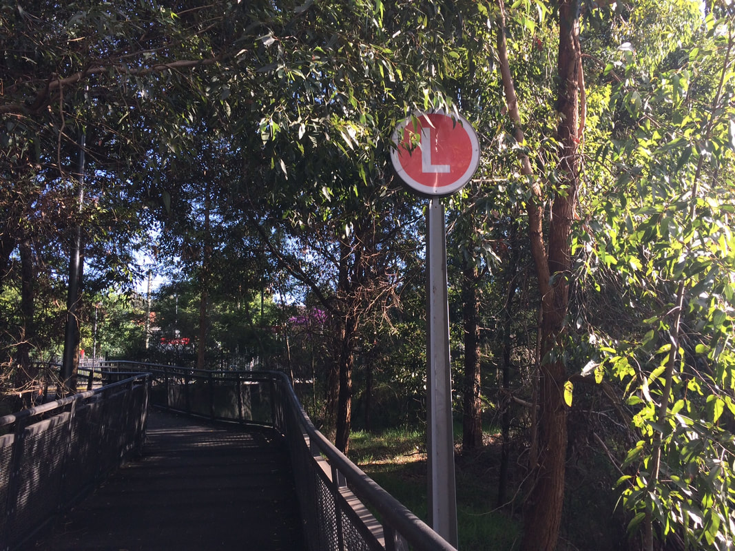
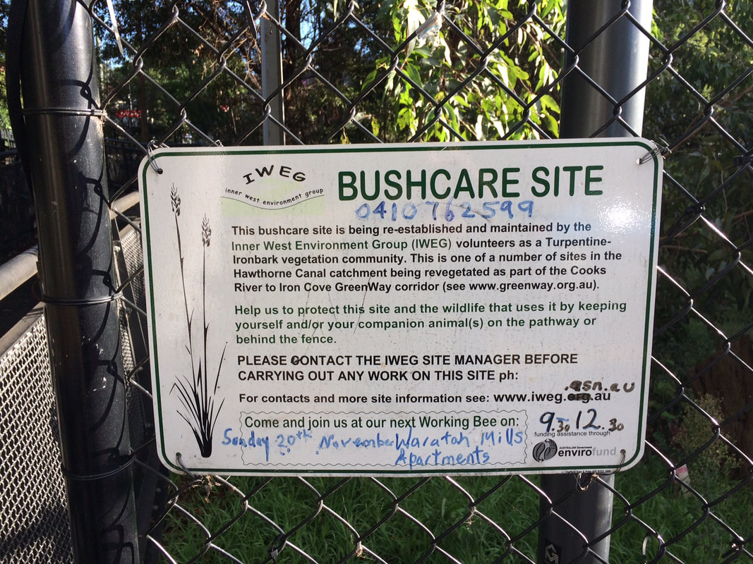
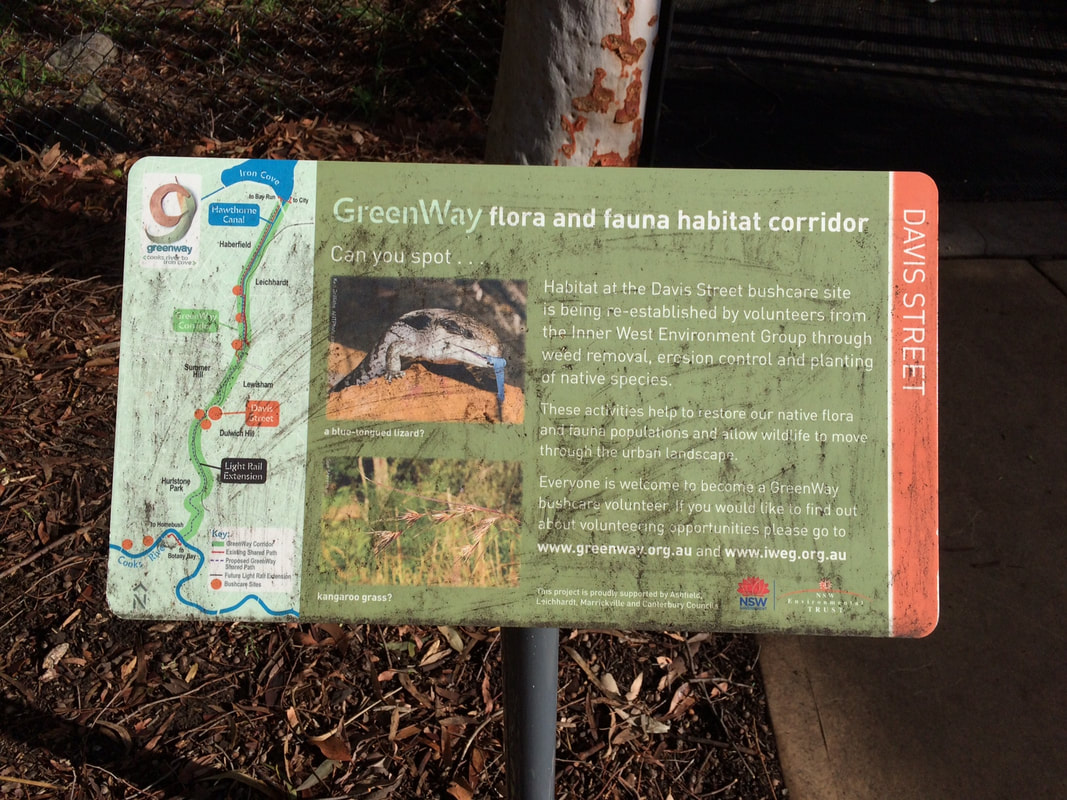
This is part of a unit of work for Changing Places - Australia's Urban Future. Lesson 1: Australia's Projected Population Growth Lesson 2: Implications for Future Growth and Sustainability Lesson 3: Sydenham to Bankstown Urban Renewal Precinct Lesson 4: WestConnex - Sydney, Sustainability and Transport Lesson 4: Sydney Sustainability and Transport (Teacher's Notes) Lesson 5: The GreenWay Lesson 5: Deindustrialisation Lesson 6: Create an infographic Lesson 7: Contributing to a Sustainable Urban Future Lesson 7: WestConnex - Protest Movements and Impacts Lesson 7: Conflict Over Dulwich Hill OR See the complete unit on the Changing Places website. Community groups lobbied for the continuation of a Greenway Trail along the light rail corridor to link up with the Cooks River cycleway. The Cooks River to Iron Cove GreenWay is a green corridor following the route of the Rozelle to Dulwich Hill light rail line. It is shared pedestrian and cyleway that links the Cooks River Cycleway and the Iron Cove BayRun. The combination of both light rail and the Greenway encourages public transport use and cycling/walking both for recreation and commuting, reducing some of the car dependence in this part of Sydney. In addition to providing opportunities for residents to choose cycling and walking as an alternative to car travel, it also provides a habitat corridor, linking several bushcare sites in the Inner West. Fieldwork: Visit a site along the GreenWay. Walk along the greenway and choose 3 separate locations to complete an environmental survey. Compare the results of the 3 surveys. Explain how the Greenway contributes to the sustainability of the Inner West. |
Categories
All
Archives
May 2024
|
||||||||||||||||
