Ashbury - location and character
Stage 6 content:
Rural or urban places case study
- the location and character of the place
Rural or urban places case study
- the location and character of the place
Location:
- inner west of Sydney
- part of City of Canterbury-Bankstown Local Government Area
- 10 km south-west of Sydney CBD
- inner west of Sydney
- part of City of Canterbury-Bankstown Local Government Area
- 10 km south-west of Sydney CBD
Character |
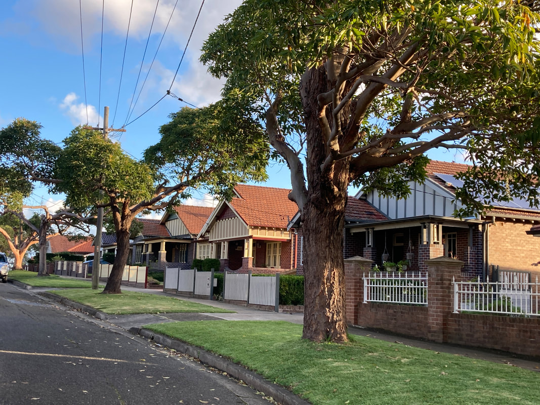
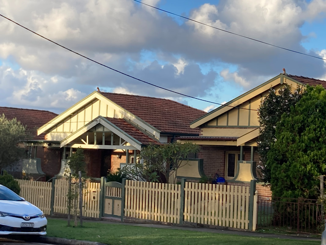
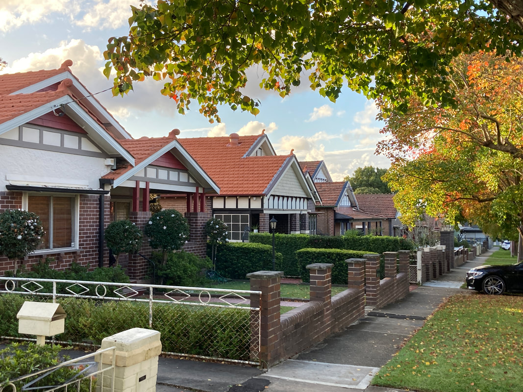
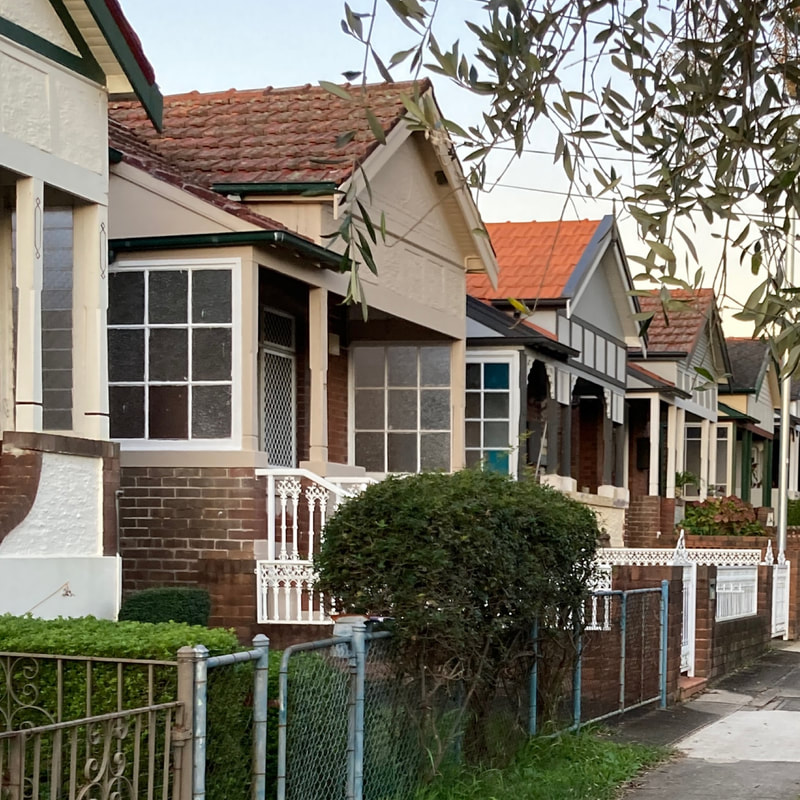
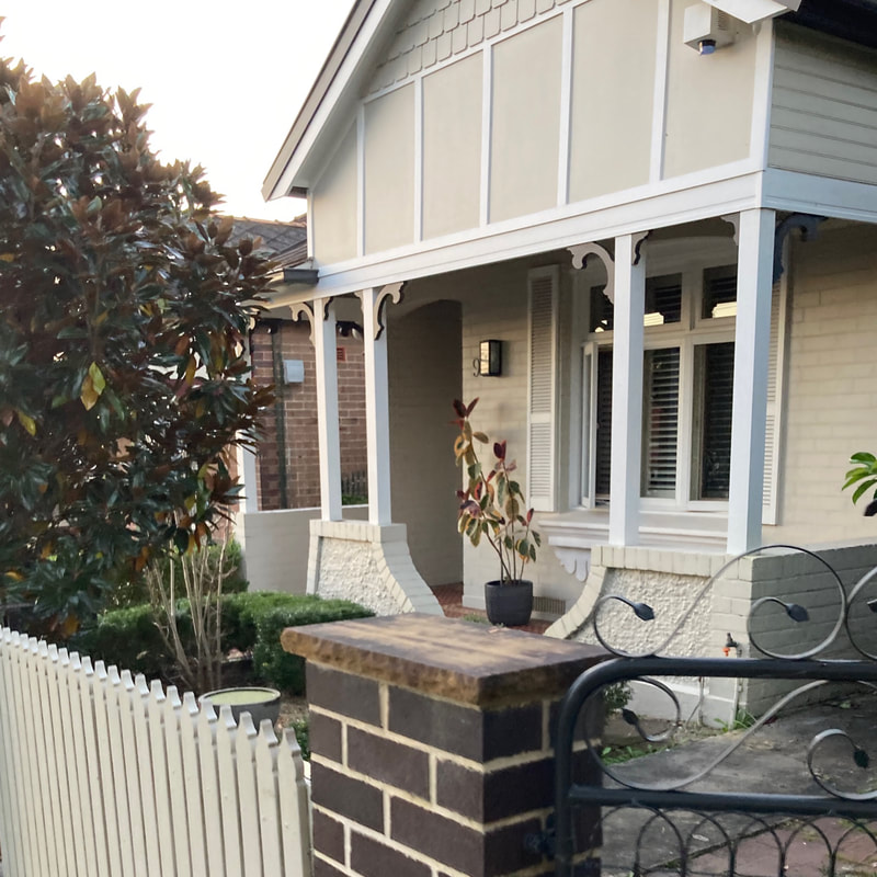
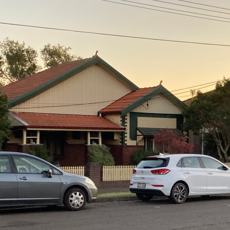
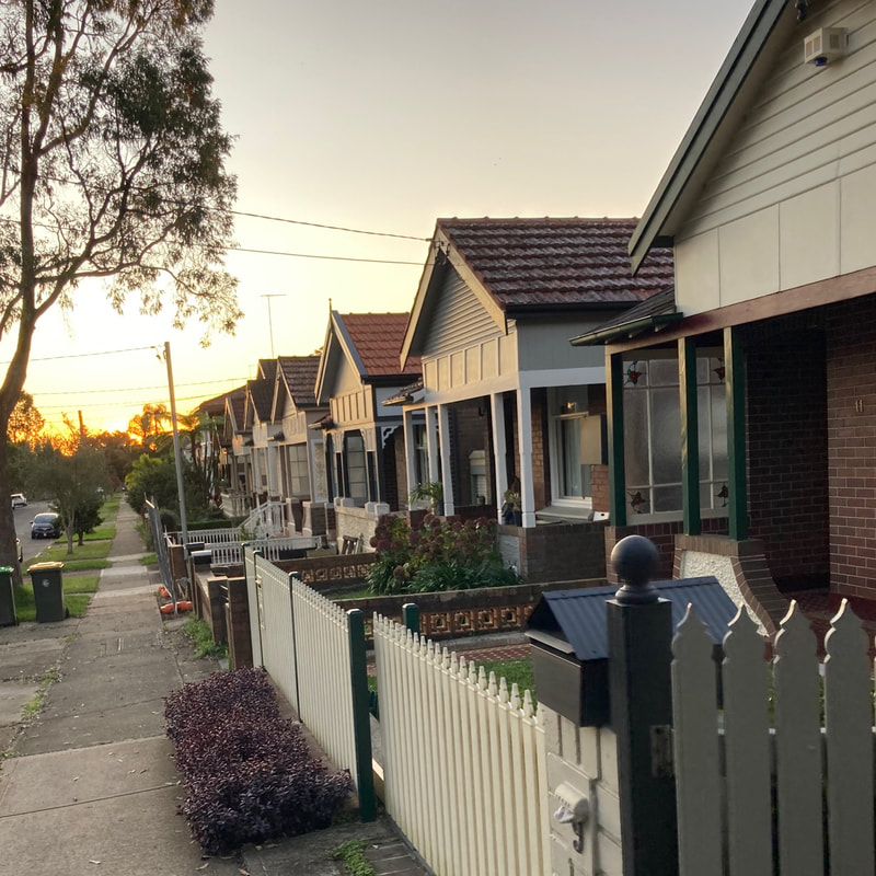
.The suburb of Ashbury mostly developed from the 1870s to the 1840s. Over 200 items in this area are Heritage listed and most of the suburb, and part of Croydon Park are included in the Ashbury Heritage Conservation Area. It is thought that parts of Hurlstone Park will also be incorporated into the AHCA. An "item" could be a house, commercial site, factory, monument, etc. The suburb, including its streetscapes, layout and architecture is considered locally significant and was managed under a Canterbury Council Local Environment Plan No 138 (2012), but since the amalgamation for Canterbury and Bankstown Councils it is now covered under a more general Heritage Guide which is still in draft form.
Ashbury developed over time through the sale and development of different "estates". Some of these are: Queen Grove's Estate (1913), Wattle Hill (1914-1916), Goodlet Estate (1919-1925), Ashfield Heights Estate (1880 - 1920), Trevenar Estate (1922), Hill Top Estate (1924).
Ashbury developed over time through the sale and development of different "estates". Some of these are: Queen Grove's Estate (1913), Wattle Hill (1914-1916), Goodlet Estate (1919-1925), Ashfield Heights Estate (1880 - 1920), Trevenar Estate (1922), Hill Top Estate (1924).
