HSIE Teachers
  • Home
  • Blog

Ideas, resources, inspiration

Fieldwork - Reef Survey - Activities

5/3/2023

0 Comments

 
Picture


​This is part 3 of a number of posts about Fieldwork - Reef Surveying.
Read the other posts:
Fieldwork - Reef Survey - Preparation

Fieldwork - Reef Survey - Where to snorkel
​
Fieldwork - Reef Survey - Curriculum Links
Underwater Writing Devices
Depending on the types of activities you are going to do (and how often you will be doing them) you might like to invest in underwater slates or clipboards. This means that while students are snorkelling they can be taking notes - perhaps about their location, types of organisms, or number of species observed or a particular underwater geological feature.

View underwater writing devices: 
Dip N Dive - Under Water Writing Devices
Field Guides
You may like to refer to a field guide to support student learning leading up to the field trip and during the field work. The field guide you choose will depend on where your fieldsite is located.
 

Some options include:
Field Guide to the Seashores of South Eastern Australia -  Christine Porter, Ty G. Matthews, Alecia Bellgrove, Geoff Wescott

A Field Guide to Australian Marine Life - Neville Coleman

Guide to Sea Fishes of Australia: A comprehensive reference for divers and fishermen - Kuiter

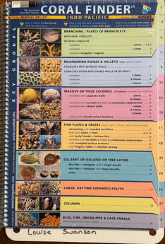
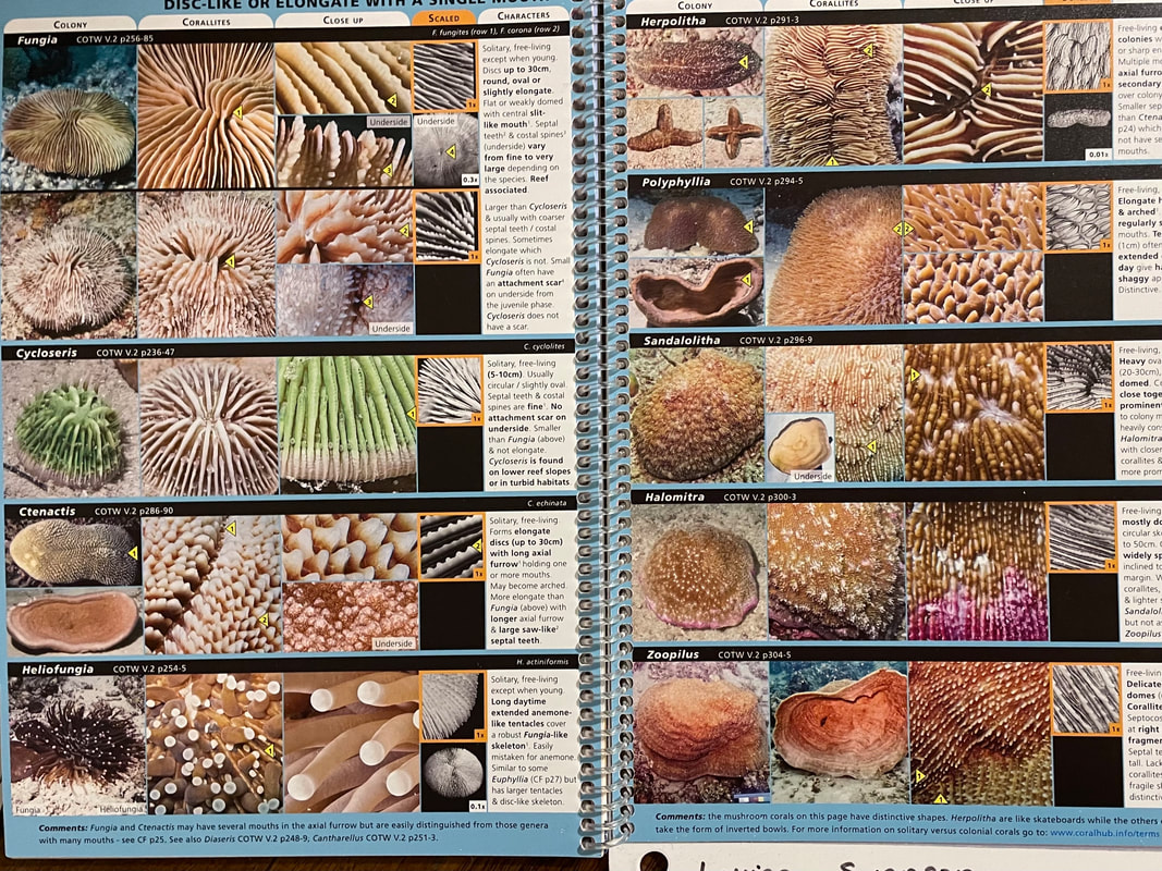
Coral Finder 2022 - BYO Guides
Picture
You may also like to use an online field guide such as:
Marine Life Identification Guide from Snorkeling Report.
However, keep in mind that you probably don't want students and teachers using their phones/laptops while wet or near the water, so this might be more useful for checking fieldwork results back in the classroom.
Picture
Quadrat sampling
A simple quadrat square can be made from pvc piping and corners, to use to do quadrat sampling.
Students gently lay down a quadrat square underwater (being careful not to disturb anything growing). They can either take a photograph to examine later or make notes about what they see within the square. For example, they might make note of the number of seaweed or seagrass species within the square, or the number of sea urchins within the square, or the variety of species. This activity should be repeated a number of times. Students can determine average calculations of a general location and then compare it with another location, or repeat the activity at another time to determine change over time.

Measurements and colour analysis
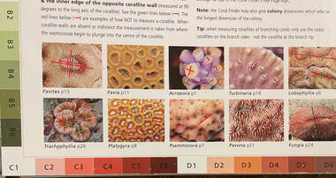
Students can use a ruler and colour chart to explore corals, seagrasses or seaweeds. In the case of corals, colour is an important indicator of coral health.
Picture
Underwater photography and videography
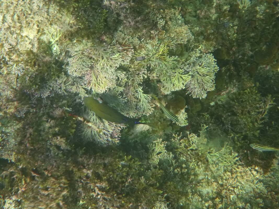
Students can easily take photographs and videos of the fieldwork site. These can be shared and compared with their classmates. In-built GPS will help to geotag the photos, or a GPS logger can be used. Photos and video can be used to identify different species, examine data on abundance of species, or explore human impacts. Photos can be added to locations on digital maps using Scribblemaps.

There are a couple of relatively cheap underwater cameras you can buy. Be prepared - if they are used regularly, they will get broken, and most likely they get water in them (also meaning they will be broken). I have bashed more underwater cameras into rocks than I care to admit. There used to be a wide variety available, but there aren't too many on the market these days. If you are going to get a student to take photos, make sure you get a wrist guard with a floatation device attached in case they drop it. Another good option to to use a hair elastic attached to the camera strap to that it doesn't get lost. For around $600-700 you can get basic model underwater camera from Olympus: Olympus TG-6 Tough Underwater Camera (Black). There are lots of other options for underwater cameras available, but they tend to be very expensive.

Probably the easiest option is to use a GoPro, with a waterproof case attached with either a velcro wrist band or a strap around your chest or head. Even though the GoPro11 is advertised as waterproof, I was advised to also get a waterproof case. There are also some masks that you can buy so that you can attach the Go Pro directly to the mask.
GoPro HERO11 Black Action Waterproof Camera
GoPro Protective Housing​
GoPro Hand + Wrist Strap
​Body Glove Adult's Arid 2 Piece Set Blue & Black
​
​
Mapping
Students can use a basic outline map of the field site to demonstrate features which relate to human impacts on the reef. Students might mark on a map stormwater drains, stairs or entry points, boat ramps, pools, jetties, etc. Students may use the map to identify where they observed particular species in the field site. Students might map areas of natural vegetation surrounding the field site. 

0 Comments

Your comment will be posted after it is approved.


Leave a Reply.

    Picture

    Louise Swanson

    Deputy Principal at a Sydney high school. Coordinating author of the Geoactive text book series.

    Follow @LouiseSwanson
    Follow @hsieteachers
    12 Geography
    Sustainability
    Urban and Rural Places
    Ecosystems and Biodiversity
    11 Geography
    Earth's Natural Systems
    Human Systems
    Human-Environment Interactions
    Geographical Investigation
    Geography Skills
    Legal Studies
    Studies of Religion
    Commerce
    History
    Changing Places
    Environmental Change

    Archives

    May 2023
    April 2023
    March 2023
    February 2023
    January 2023
    December 2022
    September 2022
    August 2022
    July 2022
    May 2022
    April 2022
    June 2021
    March 2021
    April 2020
    February 2020
    January 2020
    July 2019
    June 2019
    May 2019
    April 2019
    March 2019
    February 2019
    June 2018
    March 2018
    February 2018
    October 2017
    August 2017
    July 2017
    May 2017
    April 2017
    March 2017
    February 2017
    January 2017
    December 2016
    November 2016
    September 2016
    August 2016
    July 2016
    June 2016
    May 2016
    December 2015
    August 2015
    July 2015
    June 2015
    May 2015
    February 2015
    December 2014
    October 2014
    August 2014
    July 2014
    June 2014
    May 2014
    March 2014
    February 2014
    December 2013
    November 2013
    October 2013
    September 2013
    August 2013
    July 2013
    June 2013
    May 2013
    April 2013

    Categories

    All
    10 Geography
    11 Geo
    11 Geography
    12 Geography
    12 Legal Studies
    6 Geography
    7 Geography
    8 Geography
    9 Geography
    Accreditation
    Adani
    Affordability
    AGTA2017
    AGTA 2022
    Ancient History
    ANZAC
    App
    Arctic
    Ashbury
    Asia
    Augmented Reality
    Australian Curriculum
    Australians At War
    Balmain Foreshore Project
    Biomes
    Biophysical Interactions
    Buddhism
    Bushfires
    Business Studies
    BYOD
    Cabramatta
    Case Studies
    Catchment
    Catchment Functioning
    Change
    Changing Places
    Climate Change
    Cold War
    Commerce
    Consumer Choice
    Coral Reefs
    Cross Curriculum Priorities
    Cross Curriculum Project
    Cultural Integration
    Discrimination
    Economic Activity
    Ecosystems At Risk
    Elearning
    Environmental Change
    Excursion
    Fertility
    Fieldwork
    Gaming
    General Capabilities
    Geographical Investigation
    Geography
    Geomorphic Hazards
    Georges River
    Global
    Google
    Great Barrier Reef
    GTANSW2017
    GTA NSW Conference 2018
    Herculanuem
    Historiography
    History
    Homelessness
    Housing
    HSC
    Human Environment Interactions
    Human Rights
    India
    Insurance
    Leadership
    Learning Across The Curriculum
    Learning And Support
    Legal Studies
    Legal Studies Association
    Life Skills
    Light Rail
    Literacy
    Liveability
    Management
    Mekong
    Metroline
    Mining
    Modern History
    Modifications
    Natural Hazards
    Natural Resources
    Natural Systems
    New Nsw Syllabus
    Online Learning
    Outcomes
    Papua New Guinea
    Personal Finance
    Picture Books
    Place And Liveability
    Population
    Population Pyramids
    Preliminary
    Primary
    Professional Associations
    Professional Learning
    Program
    Project Based Learning
    Purpose
    Refugees
    Reporting
    Revision
    Rivers
    Senior Geography Project
    SGP
    Shelter
    Sia
    Social Media
    Solutions
    Stage 3
    Stage 4
    Stage 5
    Stage 6
    Studies Of Religion
    Sustainability
    Sydenham To Bankstown
    Sydney
    Teacher Wellbeing
    Tech
    Technology
    Tourism
    Transport
    Travel
    Urbanisation
    Urban Places
    Venice
    Video
    Virtual Reality
    Volcanoes
    WestConnex
    World
    World Cities
    World Heritage Sites
    Writing
    WWI
    WWII

Powered by Create your own unique website with customizable templates.
  • Home
  • Blog